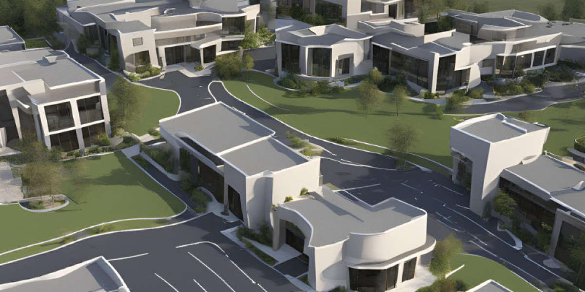
In the face of natural calamities and human-made disasters, time is of the essence. Lives hang in the balance, and the effectiveness of emergency response efforts can mean the difference between survival and tragedy. In recent years, technological advancements have revolutionized the way we approach disaster management, with aerial 3D rendering emerging as a pivotal tool in this critical arena.
Aerial 3D rendering, leveraging cutting-edge drone technology and sophisticated mapping techniques, offers a real-time, high-resolution view of disaster-stricken areas. This capability not only enhances the speed and accuracy of response efforts but also provides invaluable insights for decision-makers navigating complex crisis scenarios.
In this article, we delve into the role of aerial 3D rendering in emergency response and disaster management. From pre-disaster planning to post-event analysis, we explore how this innovative technology is reshaping the landscape of disaster response, empowering responders with the tools they need to save lives and mitigate the impact of disasters.
Understanding Aerial 3D Rendering
Aerial 3D rendering represents a fusion of cutting-edge technology and innovative techniques aimed at capturing, processing, and visualizing three-dimensional representations of the earth's surface and its features from an aerial perspective. At its core, aerial 3D rendering involves the use of unmanned aerial vehicles (UAVs), commonly known as drones, equipped with advanced sensors and cameras, to capture high-resolution imagery and data from above.
These drones are deployed to fly over targeted areas, capturing a series of overlapping images or LiDAR (Light Detection and Ranging) data points. These data points are then processed using sophisticated software algorithms, such as photogrammetry or LiDAR processing software, to create accurate and detailed 3D models of the terrain, buildings, infrastructure, and other features of interest.
Applications in Emergency Response
- Real-Time Monitoring: Aerial 3D rendering provides real-time updates on disaster-affected areas, allowing responders to assess the situation quickly and accurately.
- Resource Allocation: By identifying critical areas and assessing the extent of damage through 3D models, emergency responders can allocate resources more effectively to areas in need.
- Damage Assessment: Aerial 3D rendering facilitates rapid and detailed assessment of damage to infrastructure, buildings, and other assets, aiding in prioritizing response efforts.
- Search and Rescue: 3D models generated from aerial data assist search and rescue teams in identifying optimal routes, locating survivors, and navigating through challenging terrain.
- Coordination and Communication: The visualization capabilities of aerial 3D rendering enable clearer communication and coordination among response teams, improving overall response efficiency.
Benefits of Aerial 3D Rendering in Disaster Management
- Accuracy: Provides highly accurate and detailed 3D models of disaster-affected areas for precise assessment and planning.
- Speed: Enables rapid data collection and processing, allowing for quick response and decision-making during emergencies.
- Cost-Effectiveness: Reduces the need for manual surveys and on-site inspections, saving time and resources in disaster management efforts.
- Enhanced Situational Awareness: Offers comprehensive views of disaster scenes, improving understanding and coordination among response teams.
- Improved Decision-Making: Empowers decision-makers with timely and reliable information for effective allocation of resources and response strategies.
Challenges and Limitations
- Technical Challenges: Issues related to data quality, processing power, and integration with existing systems hinder the seamless implementation of aerial 3D rendering in disaster management.
- Operational Challenges: Factors such as adverse weather conditions, airspace regulations, and the need for skilled operators pose operational challenges to the effective deployment of aerial 3D rendering systems during emergencies.
- Privacy and Security Concerns: Risks associated with data privacy and security arise from the collection and dissemination of aerial imagery and 3D models, requiring robust protocols and safeguards to protect sensitive information.
Future Trends and Innovations
- Advancements in Technology: Continued advancements in drone technology, sensor capabilities, and data processing algorithms are expected to enhance the accuracy, speed, and versatility of aerial 3D rendering systems for disaster management.
- Integration with AI and Machine Learning: Integration of artificial intelligence (AI) and machine learning (ML) algorithms will enable automated analysis of aerial imagery and 3D models, providing actionable insights and decision support tools for responders.
- Global Collaboration: Increased collaboration among governments, research institutions, and industry stakeholders will drive the development of standardized protocols, best practices, and international frameworks for the use of aerial 3D rendering in disaster response and recovery efforts.
Conclusion
In conclusion, aerial 3D rendering stands as a transformative technology in emergency response and disaster management. By providing real-time insights, enhancing situational awareness, and facilitating informed decision-making, it has become an indispensable tool for responders worldwide.
Despite challenges such as technical limitations and privacy concerns, the benefits of aerial 3D rendering in terms of accuracy, speed, and cost-effectiveness are undeniable. Looking ahead, continued advancements in technology and increased global collaboration promise to further enhance the effectiveness and applicability of aerial 3D rendering in mitigating the impact of disasters and saving lives.

